












Application Scenarios
Humanoid Robots
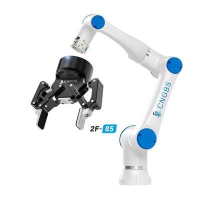
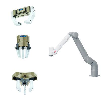
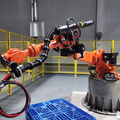
Robotic Arms
Exoskeletons
Quadruped Robots
AGV Vehicles
ARU Robots
Technical Specifications
| Parameter | Value |
|---|---|
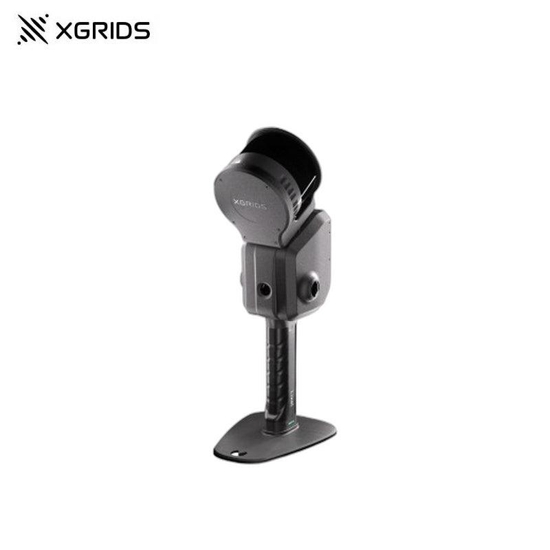
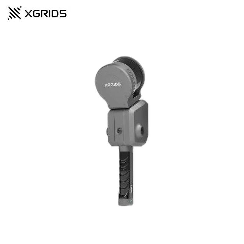
| Handheld Unit Weight | 1.7kg (without battery) |
| Dimensions | 180mm × 130mm × 400mm |
| Outer Casing | Industrial-grade Aluminium |
| Power Consumption | <30W |
| Data Interface | USB 3.1 Gen2 |
| Storage | 1T SSD |
| Operating Time | 1.5h |
| Wireless Module | Supports WiFi, Bluetooth: 802.11a/b/g/n/ac, 2.4G (2412-2472MHz), 5G2 (5180-5240MHz), 5G8 (5745-5825MHz) |
| Operating Temperature | -20℃ ~ 50℃ |
| IP Rating | IP54 |
| Visual SLAM Positioning | Supported |
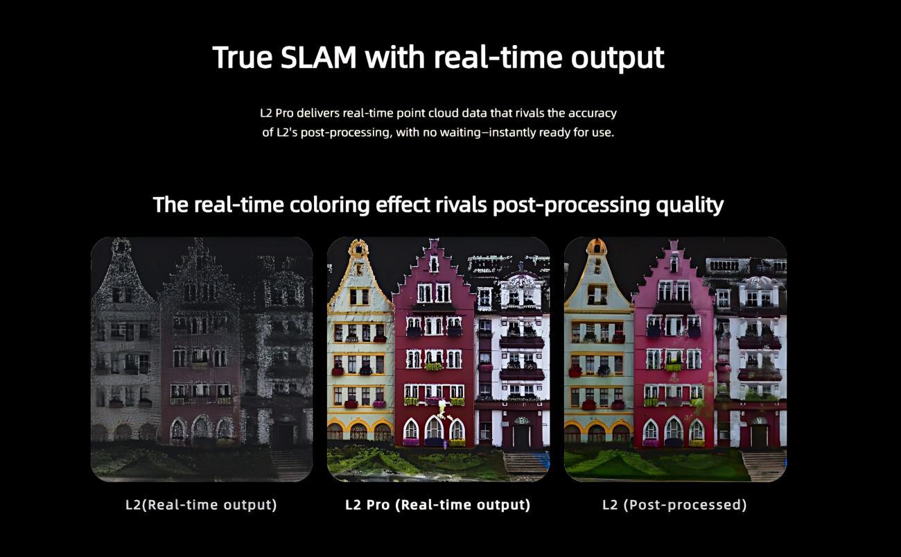
| Real-time Colored Point Cloud | Supported |
| Real-time RTK fusion | Supported |
| Point Cloud Format | .las |
| Image Formats | jpg |
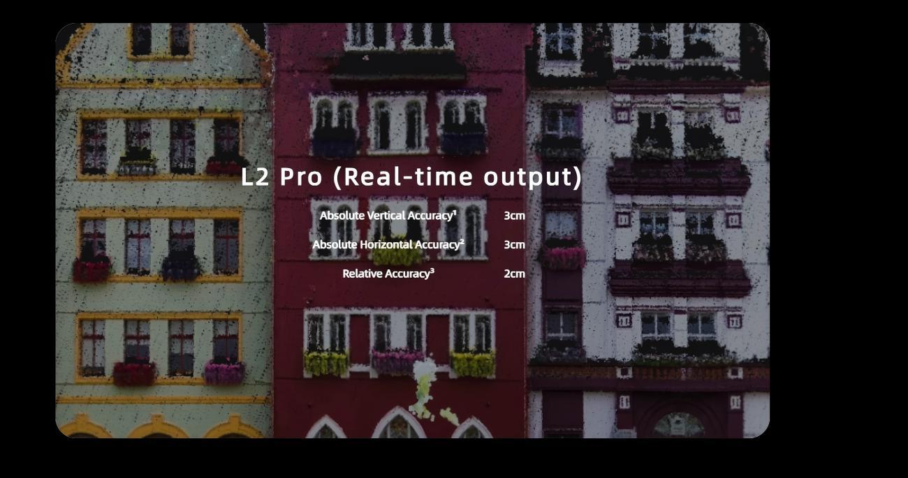
| Absolute Accuracy - Elevation (RMSE) | 3cm |
| Absolute Accuracy - Horizontal (RMSE) | 3cm |
| Relative Accuracy (RMSE) | 1cm |
| Repeatability (max) | 2cm |
| Point Cloud Thickness | 0.5cm |
| Horizontal Accuracy (RTK/Controlpoint Fusion) | 0.015° |
| LixelUpSample | Supported |
| Scanning Range | 0.5m ~ 120m / 0.5m ~ 300m |
| Laser Class | Class 1 / 905nm |
| Field of View (FOV) - LiDAR | 360° × 270° |
| Scan Rate | 320,000 points/s / 640,000 points/s |
| Camera Resolution | 2 × 48MP |
| Panoramic Image Resolution | Max 56MP |
| Focal Length (Panoramic) | 2mm |
| Aperture | F/2.0 |
| CMOS Sensor Size | 1/2" |
| Shutter Type (Panoramic) | Rolling shutter |
| Field of View(FOV) | 190° × 190° |
| Resolution (Camera for Visual Positioning) | 1 × 1MP |
| Shutter (Camera for Visual Positioning) | Global shutter |
| FOV (Camera for Visual Positioning) | 190° × 119° |
| Voltage | 14.4V |
| Battery Capacity | 46.8Wh |
| Input | 100V~240V, 50~60Hz, 1.5A, 80VA |
| Output | 16.8V, 2.0A |
| Power | 34W |
| Backpack (Scanning System) | Dimensions: 60cm×60cm×15cm, Weight: 2.5kg |
| Backpack | Dimensions: 55cm×35cm×25cm, Weight: 2.7kg |
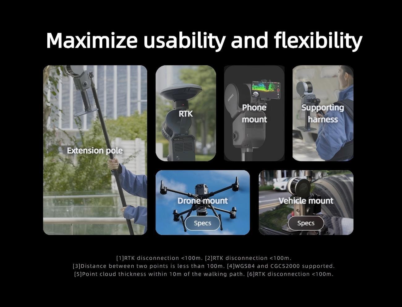
| Standard RTK+ bracket - Supported channels | GPS L1/L2/L5, GLONASS L1/L2, BDS B1/B2/B3, Galileo E1/E5a/E5b/E6b |
| Standard RTK+ bracket - Accuracy | Horizontal: 0.8 cm + 1 ppm, Elevation: 1.5 cm + 1 ppm |
| Standard RTK+ bracket - Antenna | Impedance: 50Ω, Polarization: right-handed circular, Horizontal coverage: 360°, Output standing wave ≤2.0, Gain: 2.8dBi |
| Surveying RTK+ bracket - Supported channels | GPS L1/L2/L5, GLONASS L1/L2, BDS B1/B2/B3, Galileo E1/E5a/E5b/E6b |
| Surveying RTK+ bracket - Accuracy | Horizontal: 0.8 cm + 1 ppm, Elevation: 1.5 cm + 1 ppm |
| Surveying RTK+ bracket - Antenna | Impedance: 50Ω, Polarization: right-handed circular, Axial ratio: ≤3dB, Horizontal coverage: 360°, Output standing wave ≤2.0, Gain: 5.5dBi |
| 2m Extension Pole | Supported |
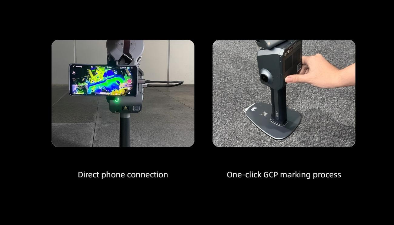
| Phone Mount | Supported |
| GCP Collection Base | Supported |
| Shipping case | Dimension: 42cm×34cm×18cm, Weight with System: 6.6kg |
-
 Contact Seller:
+861368646****
Contact Seller:
+861368646****
XGRIDS presents 3 published products on Global Robot Market, giving buyers a direct way to review inquiry-ready offerings across Industrial Cameras and LiDAR & Range Sensors.
This store page is intended for sourcing teams that want to compare listed products, review technical positioning, and contact the supplier for pricing, lead time, customization, or OEM and ODM discussions.
If the listed products match your project requirements, use the inquiry flow on the product page to request commercial and technical details from XGRIDS.
Add your review
Your email address will not be published. Required fields are marked *
Please login to write review!
Looks like there are no reviews yet.